Oct 26, 2026
What slope gradient disqualifies a road alignment before survey
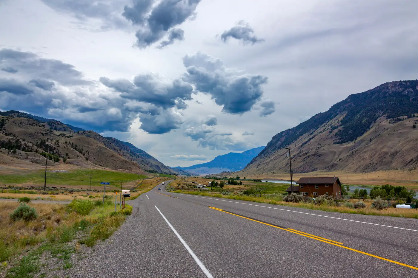
The grade that actually kills an alignment
There's no single percentage written into physics that rules out a corridor. What rules it out is your design manual, your functional class, and your design speed, all applied to the slope you're looking at.
For most two-lane rural highway work, a sustained running grade past 8 to 10 percent starts forcing the conversation: switchbacks, extended horizontal curves to soften the profile, or a reroute. Low-volume access roads and forest roads tolerate more, often into the 12 to 15 percent range, as long as drainage and surface type can handle it. Past roughly 15 to 18 percent on any class of road, you're usually looking at retaining structures, extensive benching, or walking away from that candidate entirely.
Cross slope is a separate number from running grade, and it disqualifies corridors for a different reason. A side-hill section with cross slope steeper than about 3:1 (roughly 33 percent) generally can't take a standard cut-fill template without benching. Past 1:1, conventional earthwork stops being an option and you're into structural retention or a different line altogether.
None of those numbers are universal thresholds you can plug into a spreadsheet and trust blind. A state DOT manual, a county standard, and a mine-haul-road spec will each set that threshold at a different number for the same design speed. The number that matters is the one in the document you're designing to.
Slope alone doesn't set the real buildability call
Here's where a lot of early screening goes wrong. A 9 percent grade through open pasture with a clean right-of-way and a 9 percent grade through a corridor that clips three buildings and a stand of mature timber are not the same decision, even though the slope number on the profile sheet is identical.
Buildability is slope plus what's sitting on that slope. Land cover tells you clearing costs and whether the cut goes through rock or soil. Built-up footprint tells you right-of-way acquisition risk, and whether a realignment of a few hundred feet dodges a structure instead of condemning it. Slope by itself tells you earthwork volume. Stack all three and you get something closer to an actual earthwork cost estimate, which is usually what's driving the go/no-go call more than the grade threshold alone.
This is the overlay work that normally happens candidate by candidate: pull a DEM-derived slope raster, pull a land cover classification, pull a built-up mask, lay them on top of each profile, and eyeball where the three collide. None of those individual steps is hard. Doing it by hand for six or eight candidate alignments before you've even picked which ones deserve a field crew is what eats the days.
Screening candidates before anyone picks up a total station
A corridor team working several candidates at once is usually trying to answer one question before survey gets scoped: which alignments have a slope, cover, and development profile bad enough to disqualify them now, so the survey budget goes to the ones that actually have a shot.
Route Selection Map builds that constraint-scored overlay, slope, land cover, and built-up masks combined into one view of your candidate corridors, delivered at project start instead of assembled layer by layer for each line on the map. You're looking at where the real disqualifiers stack up before a crew ever drives out to confirm what the terrain already told you.
If you've got candidate alignments sitting in a shapefile waiting on a ranking before the survey budget gets spent, that's the problem this is built around.