Nov 9, 2026
Floodplain vs wetland crossing: which rules out an alignment first
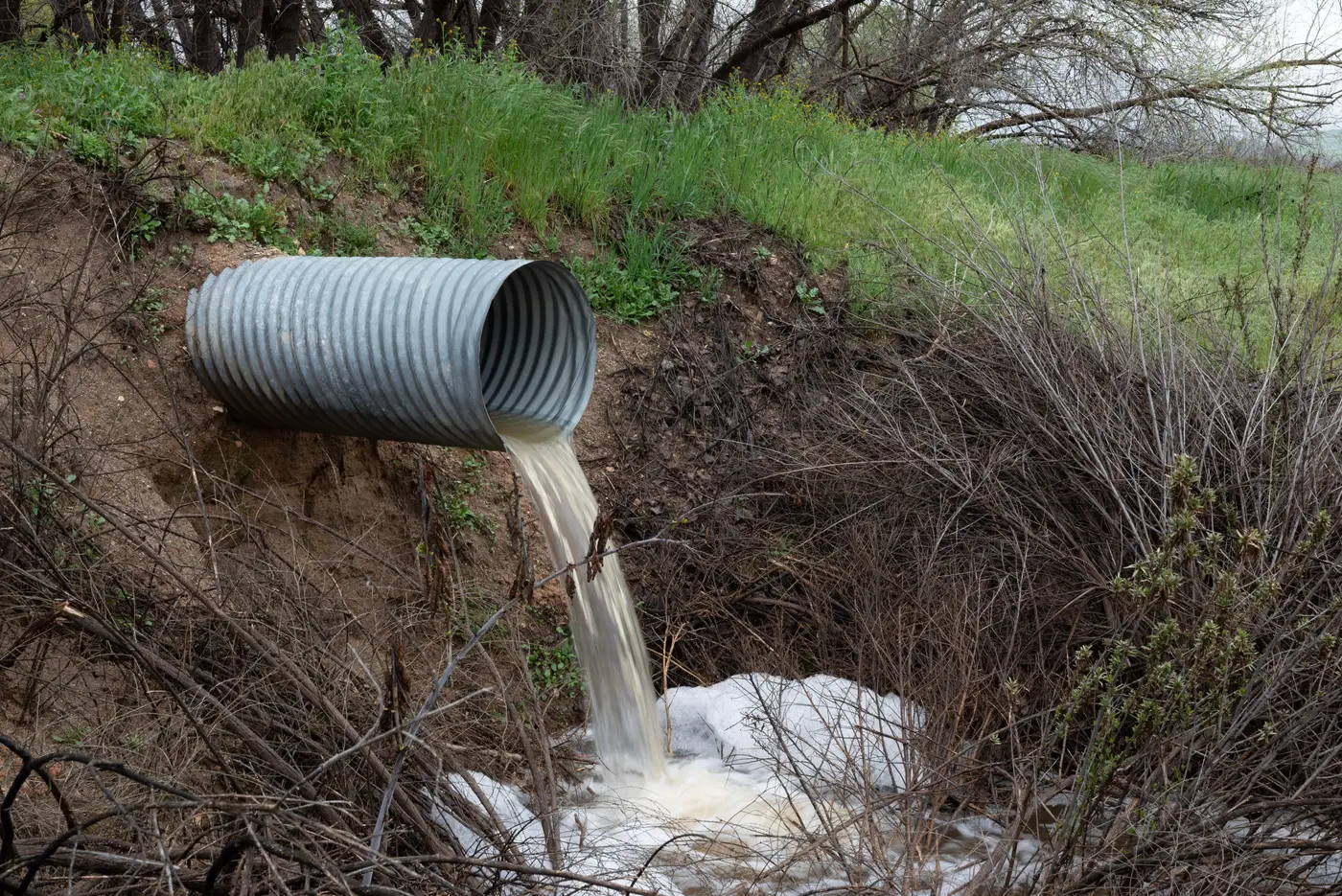
When you're sitting at the desktop stage with three or four candidate alignments and a limited survey budget, the question isn't "is there a floodplain here" or "is there a wetland here." Both answers are usually yes, somewhere along every corridor you've sketched. Floodplain exposure rules out a candidate alignment faster than wetland exposure does, and that ordering should drive your screening pass.
Short answer: floodplain usually disqualifies a route faster, because the data is binary and the regulatory trigger is clean. Wetland crossings are slower to kill an alignment outright, but they tend to be the one that costs you the most once you're committed to a route. Here's how the two behave differently when you're ranking alignments before field work.
Why floodplain screening flags a route first
FEMA flood zone data is a published, mapped line. If a candidate alignment crosses a mapped floodway or sits low in a 100-year zone, that's visible in a desktop pass within minutes, no field crew needed. It also carries a known downstream consequence: compensatory storage, elevated structures, a different hydraulic analysis for any crossing structure. Design engineers screening alignments treat this as close to a hard stop, because the cost of ignoring it shows up in the structural design, not just in permitting timeline.
Slope reinforces this. A floodplain-constrained alignment is often also a low-gradient, flat corridor, which sounds good for grading but usually means wider inundation extent and a longer reach where the route sits inside the hazard zone rather than crossing it once and getting out. An alignment that clips a floodplain at a single crossing point scores very differently than one that runs parallel to a channel for half a mile.
Why wetland avoidance screening matters even when it doesn't flag first
Wetlands rarely show up as cleanly in a first desktop pass. NWI mapping is a reasonable starting point, but it's coarse, and plenty of jurisdictional wetlands never made it onto that layer at all. So a candidate alignment can clear an early floodplain check and still be sitting on top of a wetland complex that nobody's confirmed yet, because confirming it is exactly the fieldwork you haven't paid for yet.
That's the trap. Wetland crossings usually survive the desktop stage only to kill your schedule six months later, once a Section 404 delineation comes back and the mitigation ratio turns a minor crossing into a major line item. Land cover classification helps here more than slope does. A route running through dense wet vegetation along a drainage, even outside a mapped NWI boundary, is a reasonable flag to carry into the next screening round rather than wait on it.
Sequencing the screening pass
Practically, that means running floodplain as your first filter and wetland as your second, not because wetlands matter less but because they need to be weighted differently. A floodplain crossing is a known cost you can quantify early. A wetland crossing is a probable cost you're flagging for confirmation. Treating both the same way in a desktop ranking either kills alignments that would have been fine with a minor structure redesign, or lets through an alignment that looks clean on paper and turns into a permitting fight once your survey crew is already out there.
The alignments that actually survive this pass are the ones where floodplain exposure is limited to a single, short crossing and the land cover along the route doesn't read as persistent wetland vegetation. Everything else needs a second look before you spend field days confirming what a desktop layer could have told you first.
This is the kind of ranking Route Selection Map is built to produce at project start, before any budget goes to survey: land cover, slope and built-up masks combined into one constraint-scored view of your candidate alignments, so the floodplain and wetland signals show up on the same map instead of two separate GIS layers you're overlaying by hand.
If you've got more than one candidate alignment to rank before committing field days to any of them, it's worth seeing what that constraint-scored view looks like for your corridor.